The "Extract by Mask" tool, is a spatial analyst application used in ArcGis, to excrat a raster by a polygon feature or another input raster.
You can use this tool especially when you like to use your masked/clipped output outside of ArcGis Software. If you have many scanned maps, and you want to make a mosaik, you can use this tool to extract only the map so that the legend don't hide the other maps.
To extract by mask a raster layer, you have to follow 3steps :
1)Add your raster layer in ArcMap :
To start, open your ArcMap. Click on "add data" and browse your the map you want to extract. You can zoom to your layer by right click on it, and choose "zoom to layer".
2)Create a polygon shapefile :
After that, you can create now a "polygon shapefile", and you don't have to choose a coordinate system.
You can read the "How to create a shapefile" tutorial
Now digitize the zone you want to clip.
4) You should active THE SPATIAL ANALYSIS extension
Spatial Analysis is a range of spatial modeling and analysis tools That helps you to analyse spatial relations. To active this extension, you have to open Customize in the menu bar, and select tools, then active Spatial Analysis.
5) Extract your raster
Open "ArcTool Box" and open "Extract By Mask". In the "Extract By Mask frame" you should add :
The input raster : The raster that you want to extract. This raster can be a multiband raster with more than three bands.
The input raster or feature mask : The polygon that you have created or maybe another raster (that you have already)
The output raster : the folder in wich you will save your new raster, and the name of your new raster. The output raster can only have three bands.

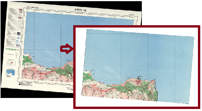
As a result, you will got your new map, added to your arcmap !
A comment IN THE BLOG if you have any question !


Enregistrer un commentaire